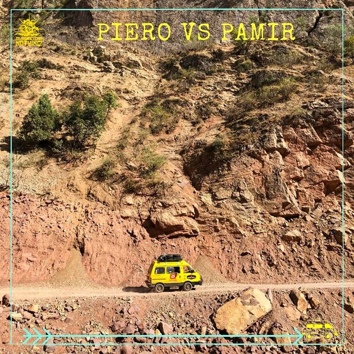
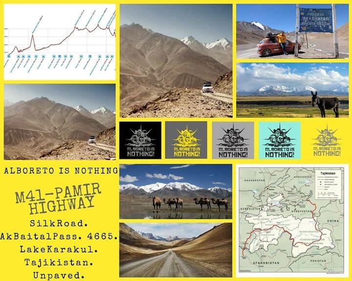
🇮🇹 La faticosissima (e non solo per Piero)
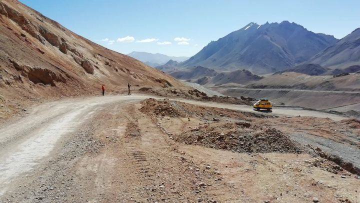
🇮🇹 La faticosissima (e non solo per Piero) salita al punto più alto dell’avventura!!!!.. Se vi state chiedendo se noi siamo scesi dal potente mezzo per fare il video la risposta è NO! Siamo scesi perché la belva motorizzata ha deciso che pesavamo troppo per portarci fino a 4655 metri di quota sulle sue ruote.. 🇬🇧 Our Challenging (and not just for Piero) climb to the highest point of our Journey. Anyway If you are wondering If we just walked up for making an epic video, the answer is NO! We had to go with our own feet because the Yellow Beast decided we were too heavy to carry all 4 of us up to 4655 meters above Sea Level… . . . .